Spain
Segovia How to Get to Segovia
Photo: Wikimedia Commons, Fernando Lozano from Donostia/San Sebastián, Basque Country, CC BY-SA 2.0
Transport overview
Your easiest way to Segovia
The high-speed train from Madrid Chamartin reaches Segovia-Guiomar in under 30 minutes; local bus 11 reaches the aqueduct in about 15 minutes. Avanza coaches take about 75 minutes.
- Madrid–Barajas (MAD)57m
- Segovia
Search flights to Madrid–Barajas (MAD)
Journey times from Routavio data, updated 10 Nov 2026.
Compare the airports
Which Airport to Fly Into
We compare the airports around Segovia by the fastest public-transport connection Routavio found from each one.
| Airport | Straight-line distance | Transfer to the centre | Route |
|---|---|---|---|
| Madrid–Barajas (MAD)Madrid–Barajas is 69 km away in a straight line. | Straight-line distance: about 69 km | Transfer to the centre: 57mDirect, no transfers (Train) |
Plan your trip
A destination for every season
Spring (April to June) and autumn (September and October) are the most comfortable months for sightseeing on foot. July and August are the busiest, with the longest queues at the main sights.
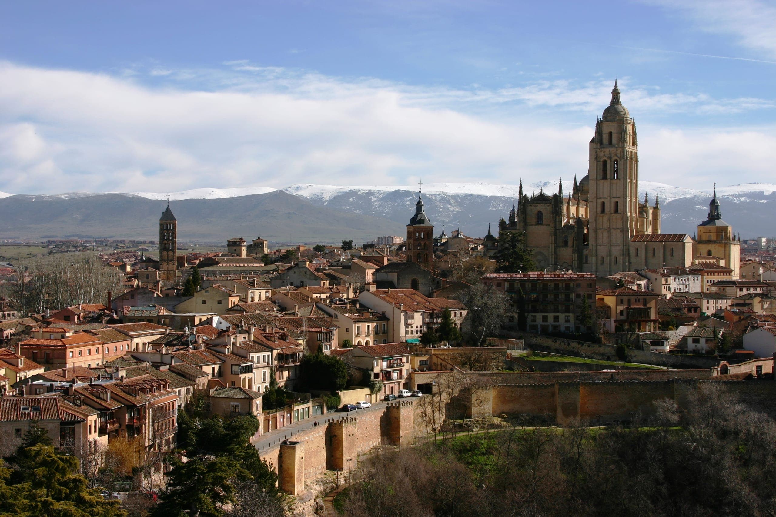
Winter
Short days, and the shortest queues at the main sights.
Nov – Mar
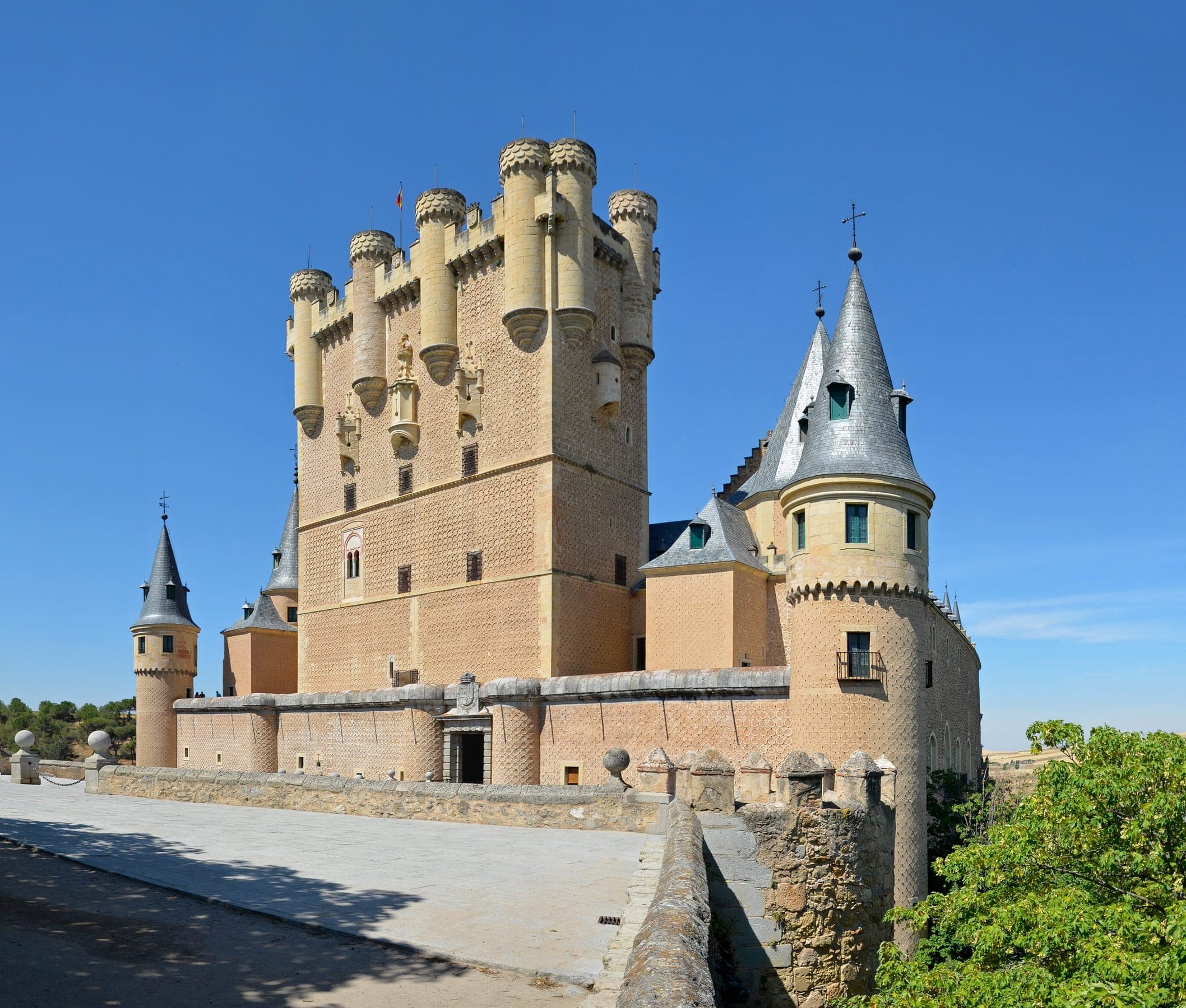
Summer
Busiest months, with the longest queues at the main sights.
Jul – Aug

Autumn
Comfortable for sightseeing on foot.
Sept – Oct
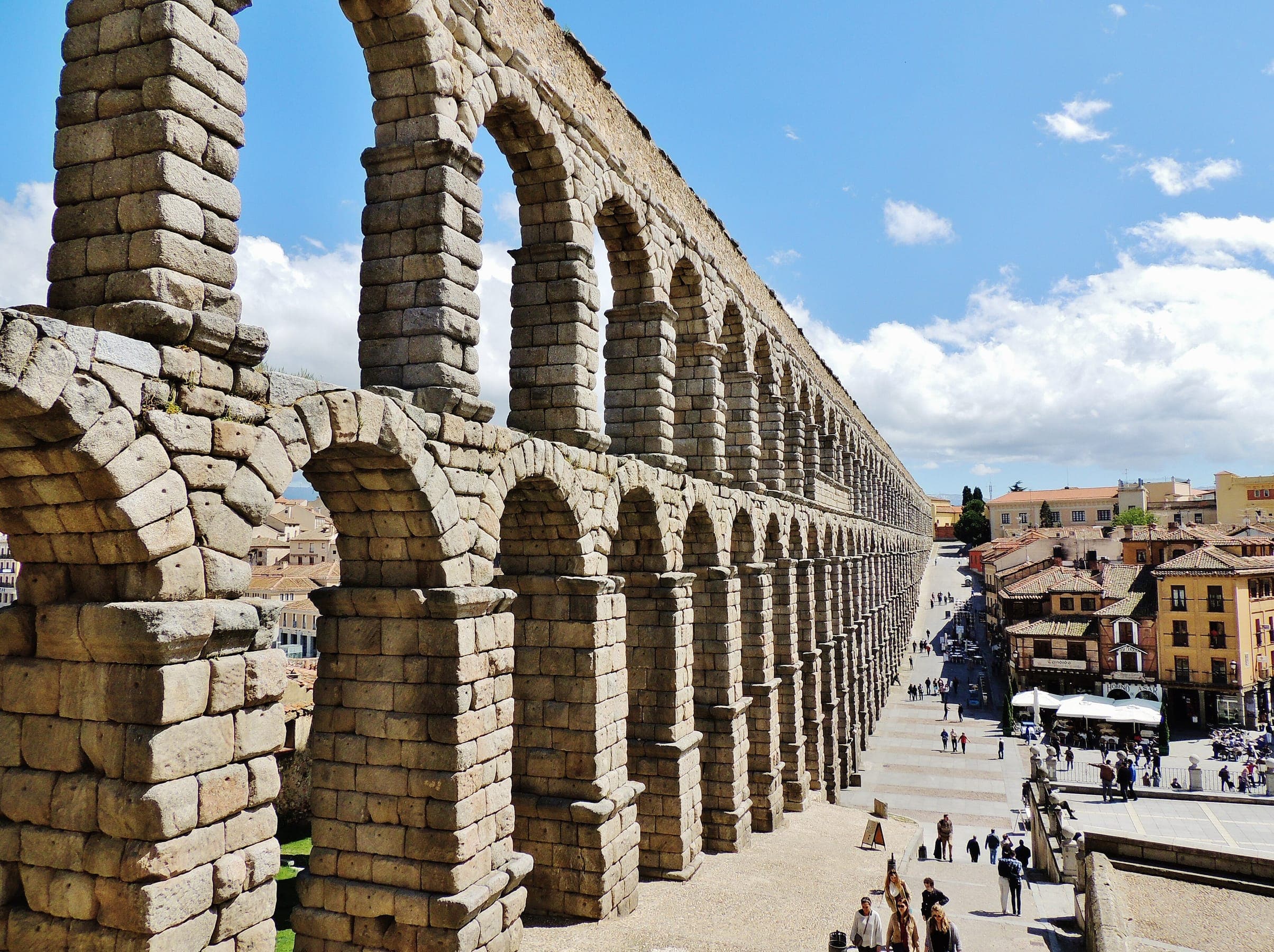
Spring
Among the most comfortable months for sightseeing on foot.
Apr – Jun
Season photos: Winter, José Luiz, CC BY-SA 3.0; Summer, Fernando Lozano from Donostia/San Sebastián, Basque Country, CC BY-SA 2.0; Autumn, AdriPozuelo, CC BY-SA 3.0 es; Spring, MonsieurNapoléon, CC BY-SA 3.0
Before you go
Before you go
Best routes from popular starting points
- Madrid to Segovia 27m, direct, no transfers
Getting around once there
- Routavio's journey times end at Segovia, the usual arrival point.
Things to Do in Segovia
Loading offers...
Sources and method
Sources: operator timetables, flight schedules, tourism-authority information and Wikimedia Commons (photos).
Durable access facts come from operator and tourism-authority information. Journey times, transfers and prices are calculated by Routavio's route engine from operator timetables and flight data and refreshed nightly. An airport marked "not verified" is geographically plausible but Routavio has not yet confirmed a public-transport route from it.
Last checked: 10 November 2026
Routavio lists an airport when the ground leg from it is within 300 km in a straight line, the limit it uses for a last-mile transfer.