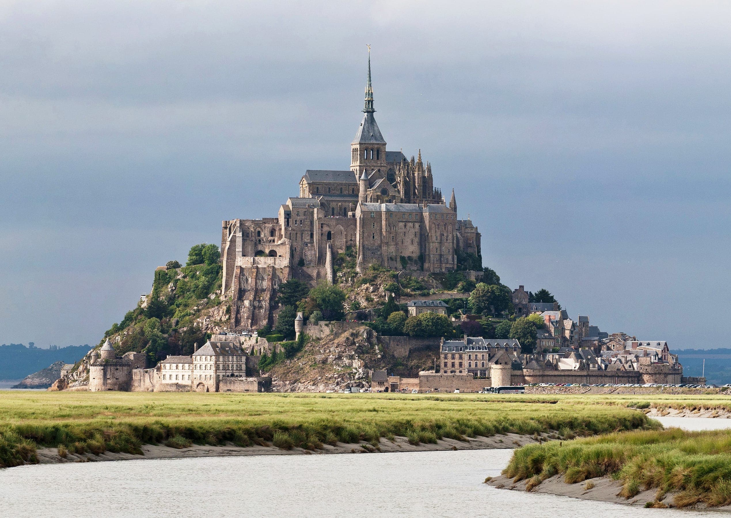
France
Mont-Saint-MichelHow to Get to Mont-Saint-Michel
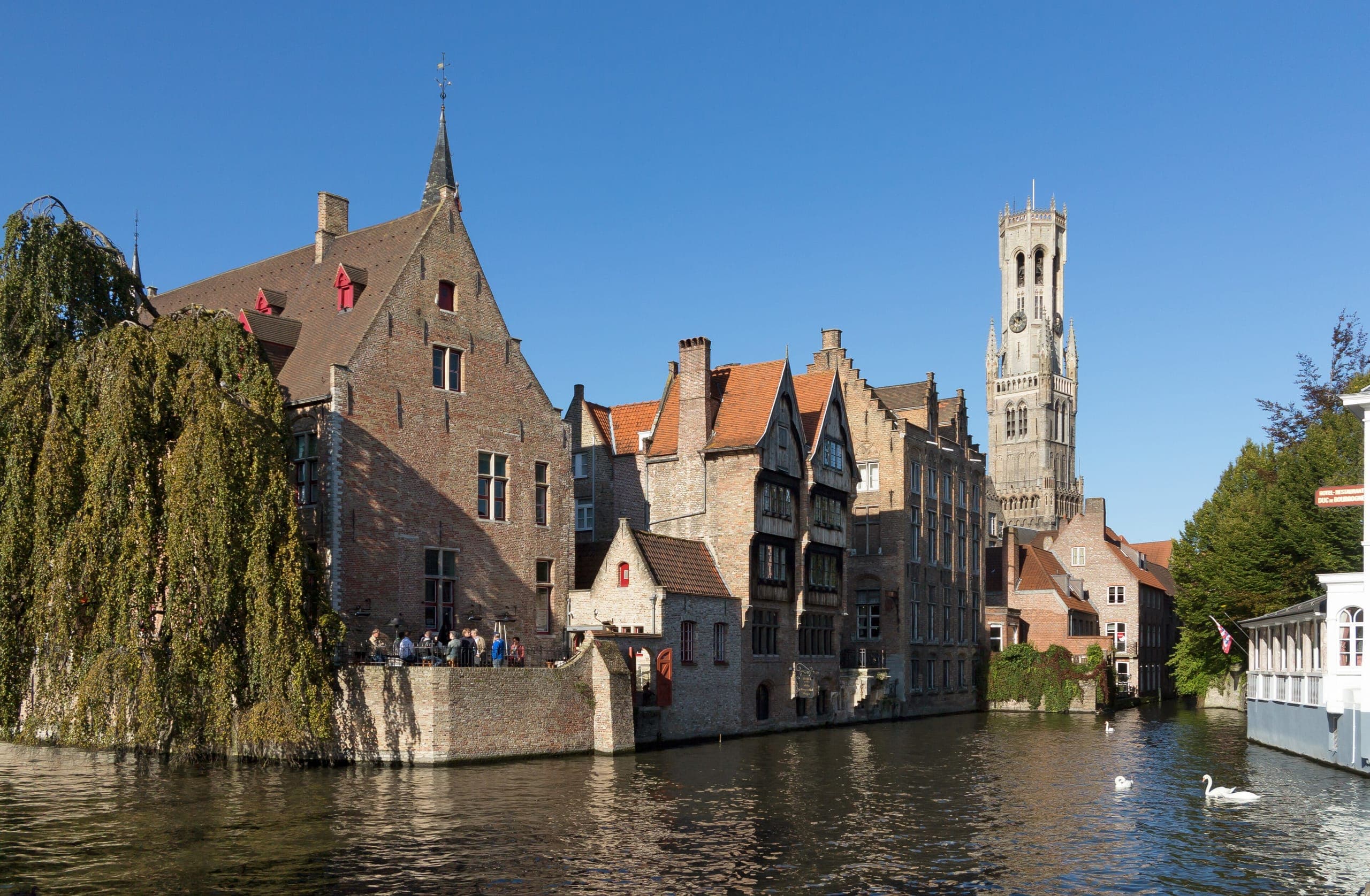
Photo: Wikimedia Commons, Diliff, Public domain
Getting there
Your easiest way to Mont-Saint-Michel
No train reaches the Mont itself. Travellers take the TGV or TER to Rennes or Pontorson and continue by dedicated shuttle bus to the causeway.
- Dinard Pleurtuit Saint-Malo airport (DNR)1h 27m
- Mont-Saint-MichelArrival point used for calculations: Pontorson - Mont-Saint-Michel
Search flights to Dinard Pleurtuit Saint-Malo airport (DNR)
Journey times from Routavio data, updated 17 Sept 2026.
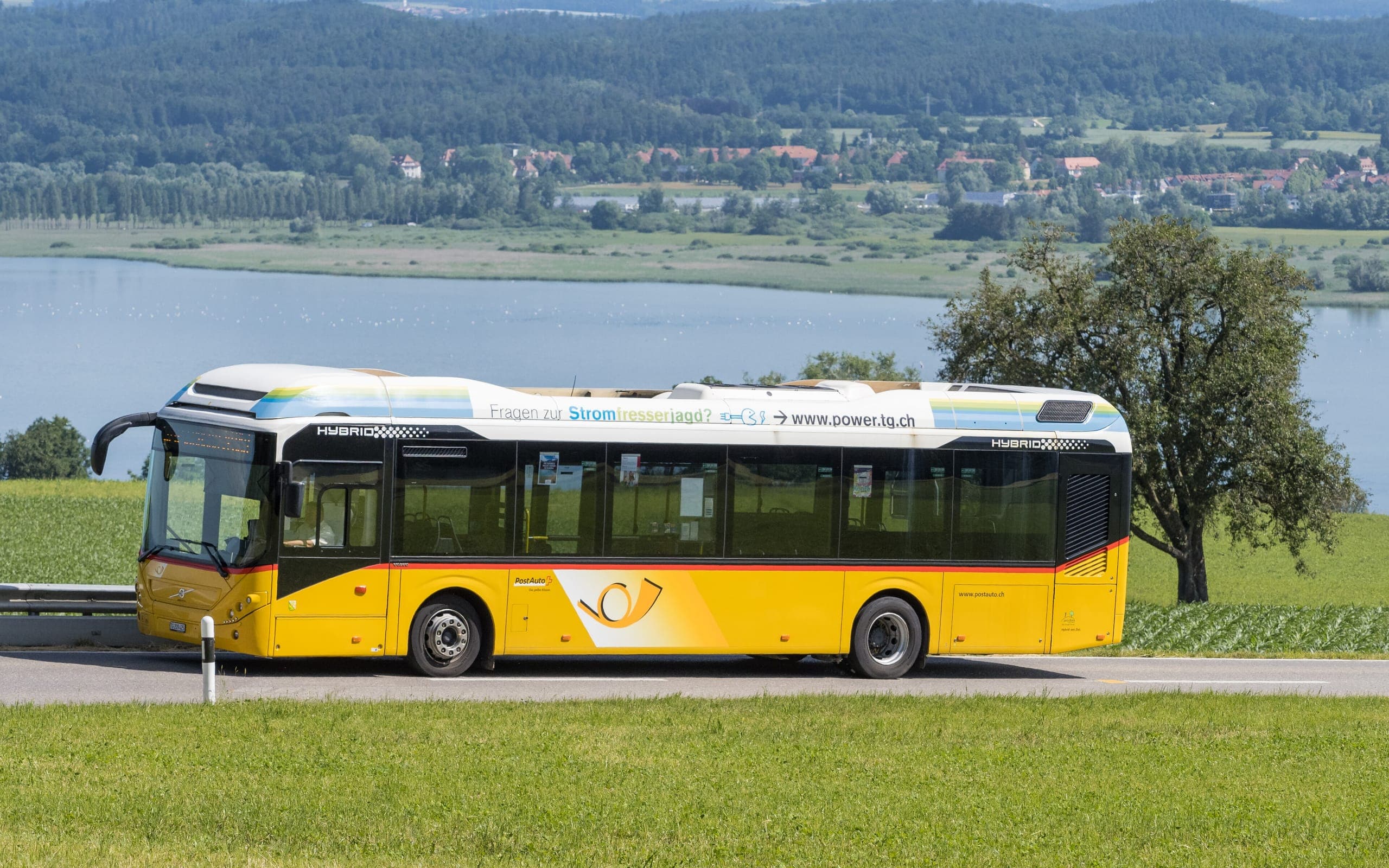
Airports compared
Which airport to fly into
We compare the airports around Mont-Saint-Michel by the fastest public-transport connection Routavio found from each one.
| Airport | Distance to Mont-Saint-Michel | Fastest onward | Transfers / modes |
|---|---|---|---|
| Dinard Pleurtuit Saint-Malo airport (DNR) | Distance to Mont-Saint-Michel: 42 km | Fastest onward: 1h 27m | Direct, no transfers (Bus) |
| Rennes-Saint-Jacques Airport (RNS) | Distance to Mont-Saint-Michel: 56 km | Fastest onward: 1h 46m | Direct, no transfers (Bus) |
| Paris Orly (ORY) | Distance to Mont-Saint-Michel: 286 km | Fastest onward: 2h 36m | Direct, no transfers (Train) |
| Paris Charles de Gaulle (CDG) | Distance to Mont-Saint-Michel: 301 km | Fastest onward: 2h 36m | Direct, no transfers (Train) |
Plan your trip
A destination for every season
Spring (April to June) and autumn (September and October) are the most comfortable months for sightseeing on foot. July and August are the busiest, with the longest queues at the main sights.
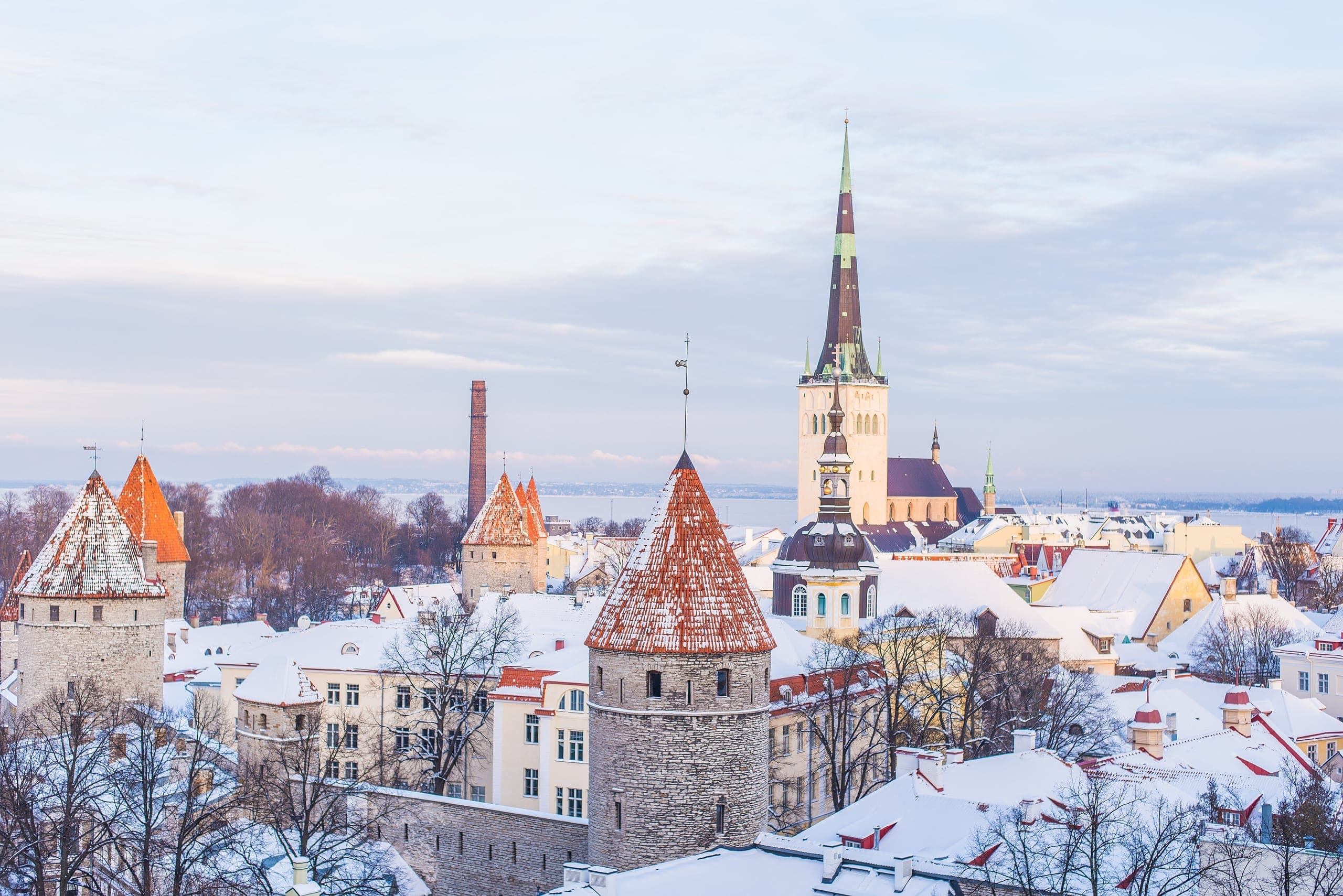
Winter
Short days, and the shortest queues at the main sights.
Nov – Mar
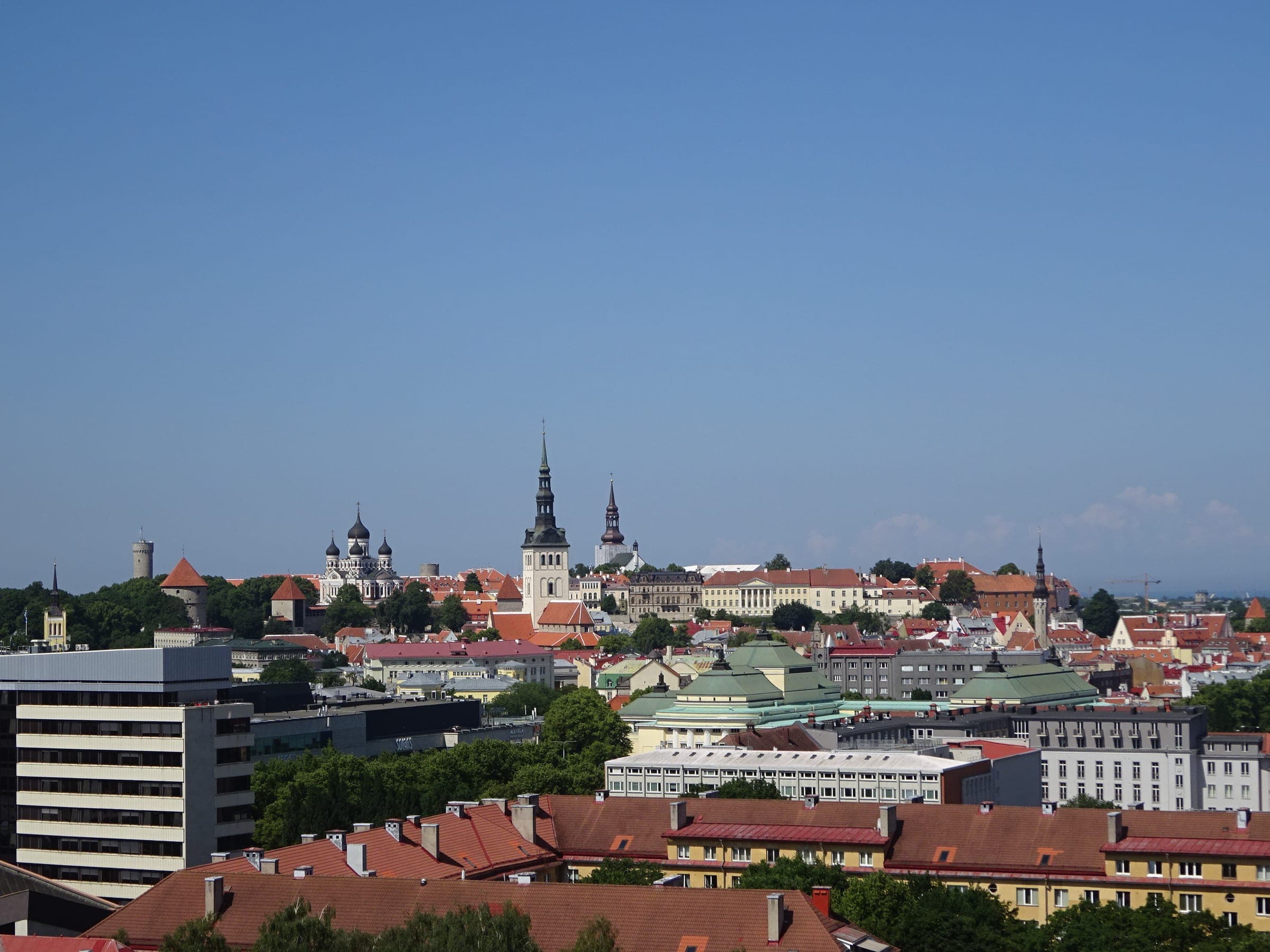
Summer
Busiest months, with the longest queues at the main sights.
Jul – Aug

Autumn
Comfortable for sightseeing on foot.
Sept – Oct

Spring
Among the most comfortable months for sightseeing on foot.
Apr – Jun
Season photos: Winter, Ilya Orehov iliched, CC0; Summer, Pjotr Mahhonin, CC BY-SA 4.0; Autumn, Dmitry A. Mottl, CC BY-SA 4.0; Spring, Dietmar Rabich, CC BY-SA 4.0
Before you go
Before you go
Best routes from popular starting points
- Paris to Mont-Saint-Michel 2h 36m, direct, no transfers
- Rennes-Saint-Jacques Airport to Mont-Saint-Michel 1h 46m, direct, no transfers
Getting around once there
- There is no railway station at the destination, so the last leg is by bus, taxi or boat.
- Routavio's journey times end at Pontorson - Mont-Saint-Michel, the usual arrival point.
Frequently asked questions
- Which airport is best for Mont-Saint-Michel?
- Dinard Pleurtuit Saint-Malo airport (DNR). The fastest public-transport connection Routavio found from there takes about 1h 27m by bus, direct, no transfers.
- What is the nearest airport to Mont-Saint-Michel?
- Dinard Pleurtuit Saint-Malo airport (DNR), about 42 km in a straight line. The closest airport is not always the quickest one to travel from.
- Can you get to Mont-Saint-Michel without a car?
- Yes. Routavio found a public-transport route from the best airport by bus.
- Is there a train station in Mont-Saint-Michel?
- No. Mont-Saint-Michel has no railway station, so the last leg is by bus, taxi or boat.
- How many airports serve Mont-Saint-Michel?
- Routavio compares 4 airports for Mont-Saint-Michel and has verified a public-transport route from 4 of them.
Explore nearby
Nearby places worth combining
Sources and method
Durable access facts come from operator and tourism-authority information. Journey times, transfers and prices are calculated by Routavio's route engine from operator timetables and flight data and refreshed nightly. An airport marked "not verified" is geographically plausible but Routavio has not yet confirmed a public-transport route from it.